Projects
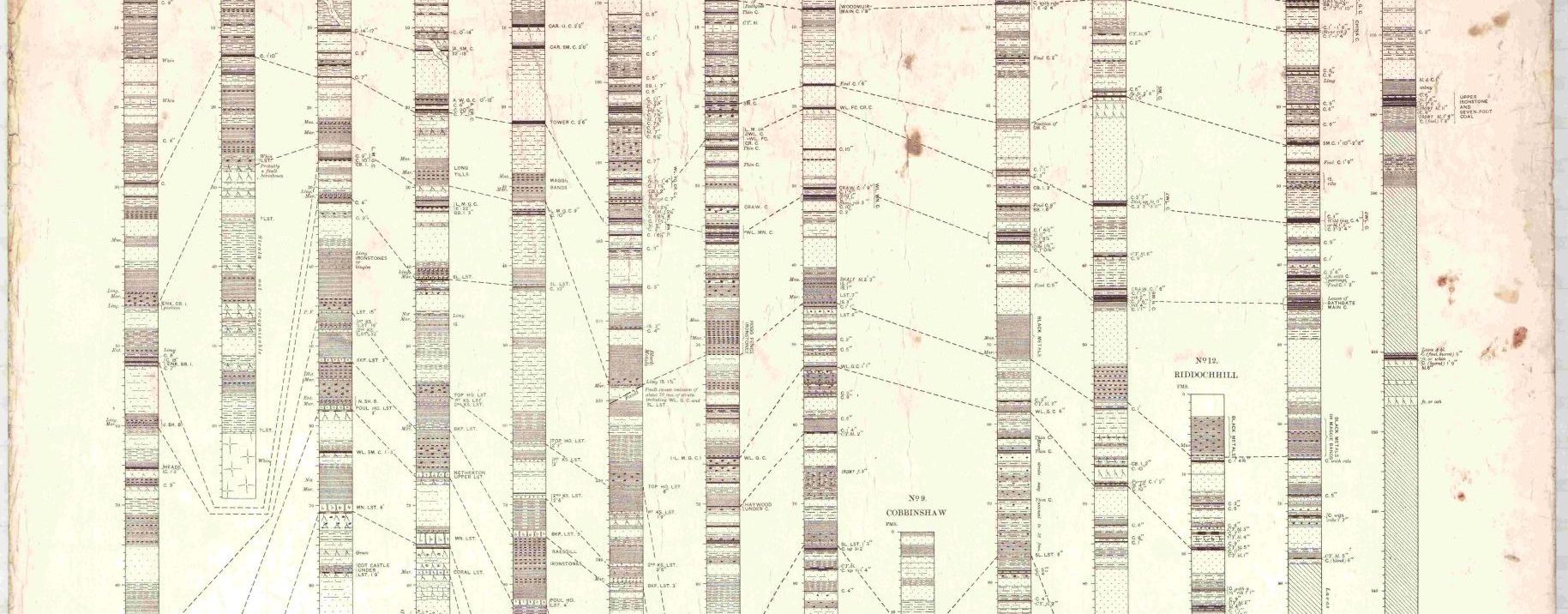
A Study of Coal Mines in the Area of Larkhall, Lanarkshire
I began this study of coal mines in the area of Larkhall, Lanarkshire, during the Covid lockdown of 2020, when the National Mining Museum Scotland was closed. I come originally from Larkhall and both my grandfathers were miners in the area, so I thought it would be interesting to find out more about local mines. My aim was not to set down every known bit of information about every pit in the area but rather to list as many as possible of the pits, together with enough information (location, dates of operation, owners, etc) to assist anyone researching mines, mining ancestors, or local history. The sources listed in the research document below, together with information held in the books and files of the National Mining Museum Scotland library, will provide much more detail. It should be noted, though, that there are no comprehensive personnel lists.
I have delimited the ‘Larkhall Area’ as lying between Ferniegair in the north, the River Clyde in the east, Netherburn and Stonehouse in the south, and Quarter in the west, all within a three-mile radius of Larkhall. Larkhall itself is in the parish of Dalserf, but the study extends into the neighbouring parishes of Hamilton, Glassford, Stonehouse, and Lesmahagow. It might be argued that places like Quarter are not in Larkhall but many miners from Larkhall, including my own grandfather, worked at Quarter, so I consider Quarter and other neighbouring small villages, such as Ashgill, Netherburn, and Ferniegair, where many Larkhall miners worked, to be ‘fair game’.
There are a number of pitfalls (pun intended) in trying to list a large number of mainly small mines. Many of these mines closed long ago, when records are sketchy or almost non-existent, especially before the nationalisation of coal mining in 1947. Some pits existed for only a short time. Pits are often known by more than one name, for example Dykehead/Summerlee, Dykehead being the official name of the pit and Summerlee after the owners, the Summerlee Iron Co. Small pits quite frequently changed owners, so that is not a reliable identification guide. Dates of operation are also difficult to pin down and some pits closed and then re-opened at a later date. I have included a ‘Known Operational Dates’ field to indicate years when a mine was known to be operating if the actual opening and closing dates are unknown or in doubt. Many pits in the area were closed on, or shortly after, nationalisation of coal mines in 1947.
The information on pit accidents given in the research document below is far from exhaustive. The Scottish Mining website (http://www.scottishmining.co.uk/) is much more comprehensive but requires some a priori knowledge of the date of an accident.
Although there had been coal mining in the Larkhall area since about the 17th century, large-scale expansion of mining did not occur until the arrival of the railways in the 1850s. The ‘Statistical Account of Scotland’ of 1845 mentions small-scale coal mining in about ten locations around Larkhall and these are mentioned in the individual pit descriptions. Most pits in the Larkhall area were located close to railway lines to transport the coal. Those to the east of the town were located along the line from Ferniegair, through Larkhall East station to Dalserf, Netherburn, Stonehouse, and Coalburn. In the west, mines in the Quarter connected to the Hamilton to Strathaven line. See the attached railway map. Mine owners, where known, are pre-nationalisation in 1947.
I would be happy to receive comments on this research, particularly additional information or corrections. Please send to: research@nationalminingmuseum.com
By Bill Welsh ©, Curatorial Volunteer (National Mining Museum Scotland)
06 September 2026
The contents of this research may be shared or reproduced as long as proper attribution and citation are given to the original author.
Supporters & Accreditations